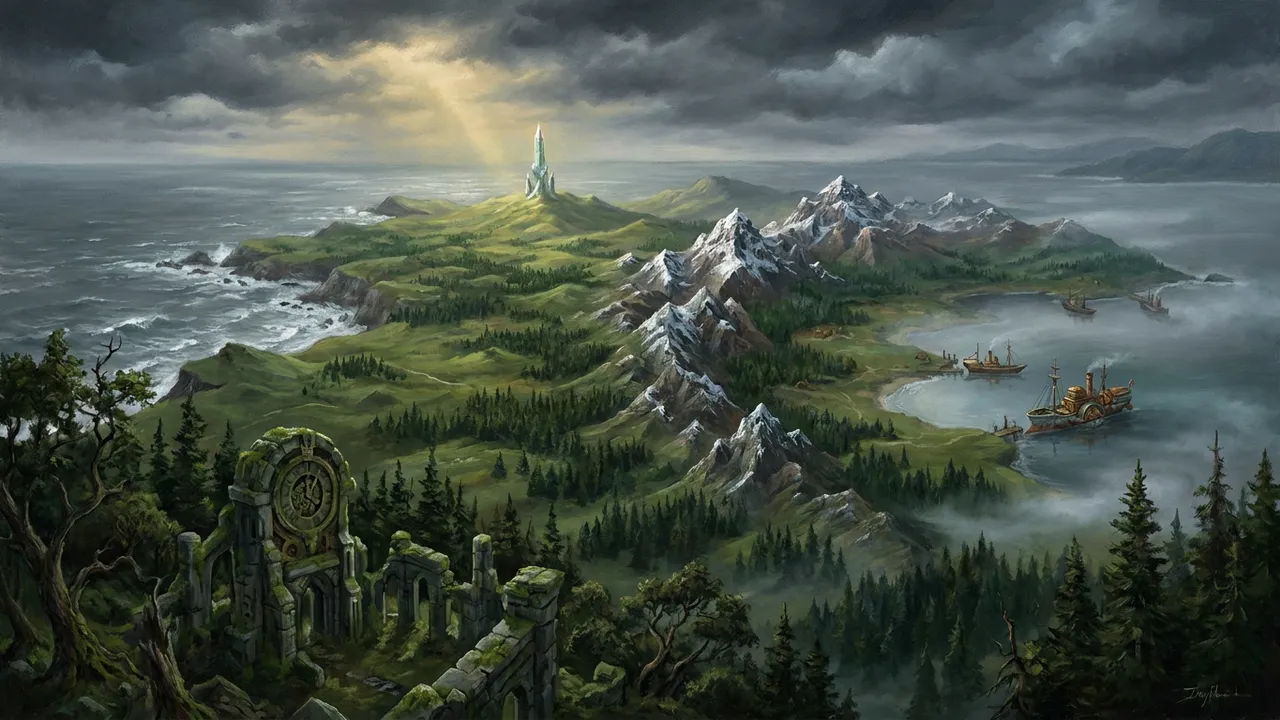
Rislandia-Wyranth Peninsula
The Rislandia-Wyranth Peninsula was a large geographic region encompassing both Rislandia and the Wyranth Empire. As its name suggested, the peninsula served as the shared landmass upon which these two rival powers were situated. The region was settled by the first people who crossed over the mountains, and the territorial dispute between Wyranth and Rislandia was said to have begun at that earliest moment of settlement.
Overview
The Rislandia-Wyranth Peninsula formed the territorial foundation for two of the most significant political entities in the known world: the kingdom of Rislandia and the Wyranth Empire. The region's geography shaped the long and often turbulent relationship between these neighboring powers. According to in-world historical accounts, the conflict between the two nations traced its origins to the very first settlers who crossed over the mountains and claimed the peninsula as their home.
History
In The Crystal Conspiracy, an in-world account described the origins of the peninsula's political tensions directly: "Wyranth and Rislandia had been at odds since the first people crossed over the mountains and settled our large peninsula." This account established that the territorial dispute between the two powers predated recorded history and was rooted in the earliest period of settlement on the peninsula.
Role in The Fight for Rislandia
In The Fight for Rislandia, the peninsula was referenced as the subject of a history book found within Zaira von Monocle's home. The book's title, as recorded in the text, was "A history of the Rislandia-Wyranth peninsula." This volume represented one of the in-world documents pertaining to the broader history of the region. For more on in-world texts of this kind, see In-World Books & Documents.
Role in The Crystal Conspiracy
In The Crystal Conspiracy, the peninsula was referenced in a passage summarizing the deep historical roots of the conflict between Rislandia and the Wyranth Empire. The account characterized the peninsula as "our large peninsula," suggesting the perspective of a narrator or character with a personal connection to the region.
On the world map
On the official world map, the peninsula is the north-western arm of Areth. It is split between yellow Rislandia in the north and green Wyranth in the south, with Lantern Bay on its east side and red Artrebla at its root.
In A History of Rislandia
According to A History of Rislandia, the peninsula known in the novels simply as the Rislandia-Wyranth Peninsula bears a distinct proper name in the sourcebook: Iberanth, also referred to as the Western Peninsula. The bible treats these as the same landmass that eventually houses both Rislandia and the Wyranth Empire, but provides a far more detailed geographic, historical, and mythological account than the novels supply.
Name and Identity
According to A History of Rislandia, the peninsula is formally called Iberanth — a name given by human cartographers millennia after the age of the Giants. The sourcebook describes it as "roughly the size and shape of the Iberian Peninsula of the old world." The name "Rislandia-Wyranth Peninsula" does not appear in the bible; the region is referred to throughout as the Iberanth Peninsula or simply "the peninsula." The wiki page for this region carries both names as alternate titles (see slug: rislandia-wyranth-peninsula).
Geography
According to A History of Rislandia, the Iberanth Peninsula is a small western peninsula on the southern continent of Areth, located in northwestern Areth. It is described as "a land of rolling hills, forests, and a single significant mountain range." Its borders are defined as follows:
- West and north: the Golgmarsh Ocean
- East: Lantern Bay
- South: the Border River
- Northeast: the Oler Mountains
The peninsula is divided internally by the great mountain range known as the Westerly Spine. The Devil's Range is described as the most geologically active region on the peninsula. The peninsula also contains a natural deposit of air crystals in a cavern system beneath a central hill, and the Crystal Spire is said to be visible from across the peninsula.
The bible notes that Atrebla borders the peninsula via the Oler Mountains to the northwest, and that the climate of the Iberanth Peninsula is warmer than that of Atrebla.
The Age of Giants
According to A History of Rislandia, the Iberanth Peninsula was largely ignored during the Age of Giants. The sourcebook states: "This region remained largely empty during the Age of Giants." A few Giants lived there as explorers, hermits, or exiles, but the peninsula held only modest crystal deposits — nothing comparable to the riches of Zenwey — and was therefore not considered worth settling by Giant civilization. A few scattered human tribes may have lived in its forests, but neither Giants nor humans saw significant value in the land. It remained wilderness, claimed by neither, for thousands of years.
The Exodus and First Settlement
According to A History of Rislandia, the peninsula was considered "cursed" by legend at the time of the great exodus, which caused most warlords to avoid it. It was precisely this reputation that made it attractive to Jory Malaky and Wyranth Ashenblade, who chose it as the destination for their exodus of Atreblan refugees across the Oler Mountains. The bible describes the peninsula at the time of arrival as untouched by the wars of the continent, not densely inhabited, and possibly retaining remnants of crystal magic, as the effects of the Great Sundering may not have reached as far west.
At the time the refugees descended into it, the Iberanth Peninsula was home to approximately 50,000 indigenous people spread across its entirety. The peninsula also contained ruins of ancient structures, possibly built by the Giants. For more on the peoples already living there, see Indigenous Peoples of the Iberanth Peninsula.
Political Division
According to A History of Rislandia, the Kingdom of Rislandia occupies the northern and central portions of the Iberanth Peninsula, while the Wyranth Empire occupies the southern portion. The peninsula is described as having been transformed over 500 years from an abandoned and cursed wilderness into a thriving kingdom — a characterisation that applies primarily to the Rislandian portion.
King Malaky III funded expeditions to map the Iberanth Peninsula and beyond during Years 110–127 of the Rislandian calendar.